search for books and compare prices
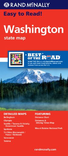
Rand McNally Easy to Read Washington State Map
Price
Store
Arrives
Preparing
Shipping
Jump quickly to results on these stores:
The price is the lowest for any condition, which may be new or used; other conditions may also be available.
Bibliographic Detail
Publisher
Rand McNally
Publication date
April 21, 2010
Binding
Paperback
Edition
Fol map
Book category
Adult Non-Fiction
ISBN-13
9780528882104
ISBN-10
0528882104
Dimensions
0.25 by 4.50 by 10 in.
Weight
0.15 lbs.
Original list price
$5.99
Other format details
map
Amazon.com says people who bought this book also bought:
Rand McNally Seattle Street Map | Rand McNally Easy to Read Montana/ Wyoming State Map | Rand McNally Easy to Read! California State Map | Rand McNally Easy to Read! Idaho State Map | Rand McNally Easy to Read! Arizona State Map | Rand McNally Easy to Read! Oregon State Map | Rand McNally Utah State Map | Rand McNally British Columbia/Alberta, Canada Road Map | Rand McNally Nevada
Rand McNally Seattle Street Map | Rand McNally Easy to Read Montana/ Wyoming State Map | Rand McNally Easy to Read! California State Map | Rand McNally Easy to Read! Idaho State Map | Rand McNally Easy to Read! Arizona State Map | Rand McNally Easy to Read! Oregon State Map | Rand McNally Utah State Map | Rand McNally British Columbia/Alberta, Canada Road Map | Rand McNally Nevada


Summaries and Reviews
Amazon.com description: Product Description: Rand McNally's Easy To Read State Folded Map is a must-have for anyone traveling in and around Washington, offering unbeatable accuracy and reliability at a great price. Our trusted cartography shows all Interstate, U.S., state, and county highways, along with clearly indicated parks, points of interest, airports, county boundaries, and streets.
The easy-to-use legend and detailed index make for quick and easy location of destinations. You'll see why Rand McNally folded maps have been the trusted standard for years.
Regularly updated, full-color maps
30% larger map with a bigger type size than the Rand McNally Folded Map
Clearly labeled Interstate, U.S., state, and county highways
Indications of parks, points of interest, airports, county boundaries, and more
Mileage and driving times map
Detailed index
Convenient folded size
Detailed maps of: Bellingham, Mount Rainier National Park, Olympia, Seattle/Tacoma & Vicinity, Downtown Seattle, Spokane, Vancouver, Yakima
Pricing is shown for items sent to or within the U.S., excluding shipping and tax. Please consult the store to determine exact fees. No warranties are made express or implied about the accuracy, timeliness, merit, or value of the information provided. Information subject to change without notice. isbn.nu is not a bookseller, just an information source.