Jump quickly to results on these stores:
Historic Maps and Views of London | Gaining Ground | Historic Maps and Views of New York | Mapping Boston | Mapping Boston | Historic Maps and Views of Rome | Historic Maps and Views of Chicago | Historic Maps and Views of San Francisco | Historic Maps and Views of the Old South | Mapping Boston


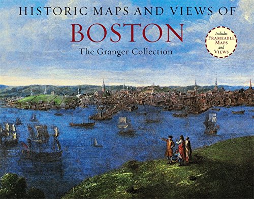
Historic Maps and Views of Boston contains twenty-four historic maps and views of Boston and its environs?dating from the 1600s through the present?ready for framing in a custom format or in a standard 11? x 14? frame. This stunning and fascinating selection of images from The Granger Collection includes the first surviving map of Boston (and also the first to be printed in America), an engraving by Paul Revere of the British landing in 1768, a bird?s-eye view of the City, color photographs of the swan boats in the Public Garden, and stunning oil paintings of Boston Harbor and Columbus Avenue. Each image?s original printing information is provided, as well as additional information that places it in historic context and further illuminates its qualities. Each image is exquisitely reproduced to show off its color and detail.
The perfect gift for lovers of travel, history, or art.
Other titles in this series include:
Historic Maps and Views of San Francisco
Historic Maps and Views of Chicago
Historic Maps and Views of the Old South
Historic Maps and Views of New York
Historic Maps and Views of London
Historic Maps and Views of Rome
Historic Maps and View of Paris

About: Historic Maps and Views of Boston contains twenty-four historic maps and views of Boston and its environs?
Pricing is shown for items sent to or within the U.S., excluding shipping and tax. Please consult the store to determine exact fees. No warranties are made express or implied about the accuracy, timeliness, merit, or value of the information provided. Information subject to change without notice. isbn.nu is not a bookseller, just an information source.